Jadual Kandungan
Jalan Reko-Sepang
Dirujuk oleh
Perihal
Jalan yang menghubungkan Rekoh dan Sepang ini melalui kawasan hutan yang tidak pernah diterokai, yang kemudiannya dikenali sebagai Hutan Simpan Bangi (1906), dan bakal menjadi kawasan Universiti Kebangsaan Malaysia (UKM - 1970) kini (bahagian ini dinamakan “Jalan Reko” kini). Seterusnya melewati Bukit Tunggul (kini lokasi Bukit Unggul Golf Country Resort), sebelum merentas kawasan paya menuju Sepang. Berikut adalah kronologi pembinaannya.
1891-05-12: Kelulusan Permohonan
Permohonan pembinaan jalan kuda bagi menghubungkan kawasan perkebunan Cina di Sepang dengan Reko mula diluluskan pada 12 Mei 1891 (PEJABAT SETIAUSAHA KERAJAAN NEGERI SELANGOR, 12/05/1891: |"RE THE MAKING OF A ROAD TO CONNECT THE CHINESE PLANTATIONS AT SEPANG WITH REKO, BERNAM OR SOME OTHER POINT IN THE TRUNK ROAD").
1891-05-28: Penerokaan Jalan
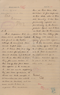
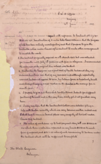
Kira-kira dua minggu kemudian, atas arahan H.F. Bellamy, Superintendent Public Works Department negeri Selangor, suatu ekspedisi dijalankan oleh Mr. Van Royen, Acting District Superintendent Public Works Department bagi daerah Ulu Langat, bagi meneroka denai untuk tujuan tersebut: “On the top of B. Tunggoh is a cairn of stones which marks the angle between the boundary line from Berhentian Kepong to Bt. Tunggoh and from there to Ulu Seppang. It is difficult to say from the Map which is Tunggoh and which is Tunggoh S'jaga but I have no doubt some one at Reko can tell you. Reko is the nearest point on the main road and a start had better be made from there following down either side of the river found most suitable and going in between the Tunggohs or better if it avoids the rivers and consequent large bridges below Bt. Tunggoh S'jaga and cross the river below Kualas Semonnieh, Beranang and Jinderam. At Seppang you will find a very large Chinese population and a large pepper plantation area?: It would be advisable to go as near Labu without crossing the Boundary as you can. The Labu is an “Anak” of the Langat River and not of the Seppang River. I am inclined to believe that you will find there is already a jungle track from Seppang to Reko. The boundary can I think be easily recognized as large mounds of earth indicate every 10 chanis? from one or other of the 2? angles. … H.F. Bellamy”
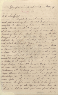
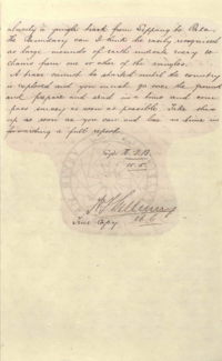
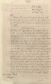
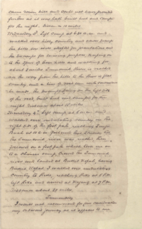
Berikut adalah sebahagian daripada catatan Mr. Van Royen, bersama ulasan H.F. Bellamy selepasnya:-
1891-05-28: Menuju ke Sepang
- Van Royen:-
“Thursday 28th: Left Kajang after Office work at 4p.m. and camped at the Reko P.S. for the night.
Friday 29th: Left Reko at 6.30a.m. and followed the guide who took me over very high hills Bukit Reko being the largest. At about a mile and a half from Reko the guide lead me through a thick jungle and landed in an abandoned tin mine. From this he followed a foot path crossing Sungai Jaukay? and Sungai Penerak?. These two streams I had to cross three times. All was flat land from the foot of Bukit Reko to Kuala Manching with the exception of four? small hills. Crossed also the Semonieh River before landing at K. Manching. There is a large swamp at K. Manching which may with advantage be tried? for mining purposes. It is now? under paddy cultivation. I had to camp at K. Manching for the night. The guide came down hill and could not have proceeded further as it was late. Built hut and camped for the night. Distance: 10 miles.”
- H.F. Bellamy:-
“The Route followed by Mr. Van Royen on the outward journey must I think be condemned at once as besides being not so suitable for a road it is for the greater part of the distance in Sungei Ujong territory.”
1891-06-03: Pulang ke Rekoh
- Van Royen:-
“Wednesday 3rd. Left camp at 6.30a.m. and walked over hilly country and across swamp. The hlls are well adopted for plantations and the swamps for mining purposes. Keeping on to the spur of these hills and walking for about 8 miles Sumenieh River is reached all the way from the hills to the River is flat country and a line of road can with conversion? be made. The swamps being on the left side of the road. Built hut and camped for the night. Distance about 15 miles.
Thursday 4th. Left camp at 6a.m. and walked over undulating country on the right side of the foot path reaching Sungai Buah at 10a.m. Followed this stream till The Semonieh river was reached. Then followed on a foot path which took me on to a Chinese camp. Crossed the Semonieh river and landed at Bukit Kopah. Leaving Bukit Kopah I walked over undulating country to Reko, reaching Reko at 6p.m. Left Reko and arrived at Kajang at 7p.m. Distance about 20 miles.”
- H.F. Bellamy:-
“I consider the route taken on the homeward journey to be suitable for road construction. I know the general line - having traversed it in March 1886 in connection with the demarcation of the Selangor Sungei Ujong boundary. Some swamps will be encountered but they are not extensive and I agree with Mr. Van Royen as to the possibility of their containing mineral wealth. The only physical difficulties in the line would be Bukit Sangoon, a spur of Bukit Tunggoh and Bukit Kopah but I have no doubt they can be very easily avoided by keeping nearer the Langat River as I have shown in a dotted red ink line. … it appears there is some sort of track or route to Klang from the foot of Bukit Tunggoh.”
(Sumber: PEJABAT SETIAUSAHA KERAJAAN NEGERI SELANGOR, 09/06/1891: |"FORWARDS REPORT OF THE AG: DISTRICT SUPT: OF THE ULU LANGAT DISTRICT ON HIS EXPLORATION OF A ROUTE FROM REKO TO SEPPANG").
LATAR PERISTIWA: Perihal H.F. Bellamy.
1893-02-01: Kerja Ukur Jalan
Kerja ukur dijalankan oleh F.D. Guinness (PEJABAT SETIAUSAHA KERAJAAN NEGERI SELANGOR, 01/02/1893: |"TENDERS : ROAD SURVEY SEPANG TO REKO").
Ketika kerja ukur jalan dibuat, terdapat halangan dari pemilik tanah yang termasuk ke dalam cadangan jalan (PEJABAT SETIAUSAHA KERAJAAN NEGERI SELANGOR, 21/07/1893: |"'"REKO - SEPANG TRACE" - REQUEST THAT THE SENIOR DISTRICT OFFICER AND HIS ASSISTANT AT SEPANG MAY BE INSTRUCTED TO RENDER ANY ASSISTANCE IN THEIR POWER TO MR. GUINNESS ETC").
1894-02-26: Tender Pembinaan
Tender pembinaan dikeluarkan bagi pembinaan penyambungan Jalan Reko menuju ke Sepang: “Continuation of Reko Road: Sempang to Kwala.” (PEJABAT SETIAUSAHA KERAJAAN NEGERI SELANGOR, 26/02/1894: |"TENDERS FOR CONTRUCTION OF REKO ROAD").
1894-03-21: Penundaan dan Penyambungan Semula
Projek ini kemudiannya tertunda. Beberapa bulan selepas itu, permohonan dibuat oleh Pejabat Daerah Kuala Langat bagi meneruskannya semula, memandangkan kerja-kerja pembukaan 35 buah ladang dan 12 buah kebun di sekitar Labu, Chincang, dan Sepang, telah pun bermula (PEJABAT SETIAUSAHA KERAJAAN NEGERI SELANGOR, 21/03/1894: |"CONSTRUCTION OF REKO SEPANG ROAD. FORWARDS").
1894-06-27: Naik Taraf Talian Telegraf
Sebahagian daripada proses pembinaan jalan: Permohonan naik taraf talian telegraf “Sepang Line”, sepanjang dari Kajang ke Reko, melibatkan penggantian tiang kayu dengan besi (PEJABAT SETIAUSAHA KERAJAAN NEGERI SELANGOR, 27/06/1894 @ Arkib Negara Malaysia: |"RE CONSTRUCTION OF SEPANG LINE FROM KAJANG TO REKO").
1896-04-30: Jalan Pedati Kajang-Rekoh
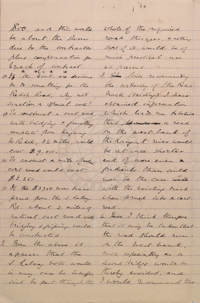
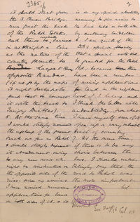
Cadangan peluasan serta naik taraf jalan kuda yang menghubungkan Kajang dengan Rekoh, kepada jalan pedati. Turut dicadangkan ialah pembinaan jalan pedati baru di sebelah barat Sungai Langat, dari jabatan Sungai Chuau (sekitar Putrajaya Wetlands kini), menuju ke Tanjong Duablas (sekitar Langat). Namun jika dirujuk peta 1900-an, cadangan ini tidak diterima, sebaliknya jalan yang sedia ada di sebelah timur Sungai Langat telah dinaik taraf: “…3. To construct a cart road with bridging & gravelling complete from Kajang to Rekoh, 3 1/4 miles, would cost $9,011. … 3. Since recommending the widening of the Rekoh track (existing) I have obtained information which leads me to believe that a road on the west bank of the Langat river would be at once shorter and of more even gradients than could ever be the case with the existing track when formed into a cart road. … 4. I think therefore that if may be taken that the road should run on the west bank, more especially as a second bridge would be thereby avoided, and I would recommend that it should start from the S. Chuan Bridge, run past the Rekoh Estates, and thence be eventually caried in as straight a line as the nature of the country permits, to the Langat River opposite Bandar. (if we go by the maps it might perhaps be found best to connect it with the track to Tanjong Duablas). 5. At the same time I would strongly recommend the upkeep of the present track as far as Rekoh & should strongly deprecate its abandonment owing to any new road wh. might be constructed on the opposite side of the river: since my arrival I have received numerous applications for land on both sides of it, & it is in my opinion absolutely necessary to give access to the land held on both sides by customary landholders. 6. I am quite of the D.G.s opinion, viz that a special vote shd. be granted for the Rekoh Rd; because there have been a number of mining applications for land in the neighbourhood of S. Lalang, and I think the latter will undoubtedly, from what I have myself seen of it, open up a very valuable track of country. 7. At the same time, if there is to be any choice between the two, I should unhesitatingly say that the Road to Rekoh was the more important.” (PEJABAT SETIAUSAHA KERAJAAN NEGERI SELANGOR, 30/04/1896: |"KAJANG - REKO ROAD").
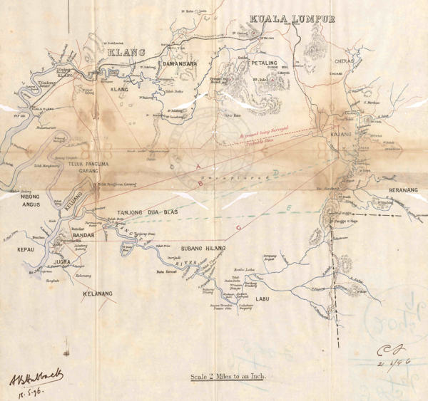
Lakaran cadangan Jalan Sg Chuau-Tanjong Duablas, 1896. Ketika ini Pekan Bangi masih belum wujud lagi (Arkib Negara 1957/0062586W, 14/04/1896: |"KAJANG - REKO BRIDLE ROAD-AS TO COST OF CONVERTING IT INTO A CARTROAD -").
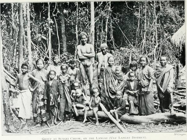
Ahli masyarakat Temuan di sekitar Sungai Chuau, 1900-an (Walter William Skeat, Charles Otto Blagden, 1906: "Pagan races of the Malay Peninsula", m.s.804-805).
Maklumat berkaitan:-
- 1896-04-24: Pembinaan sebuah jambatan besi di Jalan Reko. Lokasi tidak dapat dikenalpasti: PEJABAT SETIAUSAHA KERAJAAN NEGERI SELANGOR, 24/04/1896: |"IRON BRIDGE ON THE REKO ROAD - ESTIMATE ($1043) FOR SANCTION -".
- 1896-07-24: Naiktaraf dan peluasan jalan: PEJABAT SETIAUSAHA KERAJAAN NEGERI SELANGOR, 24/07/1896: |"REKO ROAD (WIDENING AND METALLING)".
- 1896-11-26: Pengurusan tender naik taraf jalan ini: PEJABAT SETIAUSAHA KERAJAAN NEGERI SELANGOR, 26/11/1896: |"TENDERS FOR CONVERSION OF KAJANG REKO BRIDLE TRACK INTO A GRAVELLED CART ROAD".
- 1898-11-09: Dana untuk penyelenggaraan jalan ini: PEJABAT SETIAUSAHA KERAJAAN NEGERI SELANGOR, 09/11/1898: |"REKO ROAD. CONSTRUCTION FUND SAID TO BE USED FOR SUPPLYING UPKEEP METAL".
1900-11-20: Pekerja Bunuh Diri
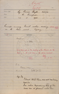
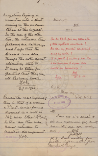
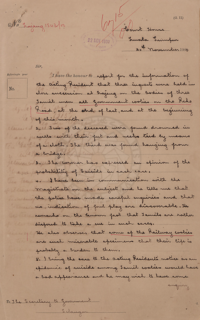
3 orang pekerja dilaporkan membunuh diri mereka di sekitar Jalan Reko. Dua daripadanya ditemui di dalam sebuah telaga, manakala yang ketiga menggantung dirinya di sebuah jambatan. “…three inquests were held in close succession at Kajang on the bodies of three Tamil men, all Government coolies, on the Reko Road, at the end of last, and at the beginning of this month. 2. Two of the deceased were found drowned in wells with their feet and necks tied by means of a cloth. The third men was found hanging from a bridge. 3. The coroner has expressed an opinion of the probability of suicide in each case.” Kemungkinan pekerja-pekerja tersebut adalah di bawah pengurusan syarikat keretapi, berdasarkan pemerhatian ketika sesi siasatan, namun ianya tidak dapat dipastikan. Terdapat kekhuatiran bahawa para pekerja tersebut sedang dalam keadaan tertekan disebabkan oleh keadaan tugasan dan tempat kerja mereka (PEJABAT SETIAUSAHA KERAJAAN NEGERI SELANGOR, 20/11/1900: |"SUICIDE AMONG TAMIL COOLIES WORKING ON THE REKO ROAD, KAJANG").
1901-03-22: Sambungan Jalan Reko-Sepang
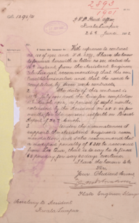
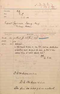
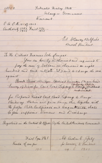
Projek penyambungan Jalan Reko-Sepang yang dikendalikan oleh kontraktor Lee Qua mengalami kelewatan, walaupun tempoh kontraknya telah pun dilanjutkan (PEJABAT SETIAUSAHA KERAJAAN NEGERI SELANGOR, 22/03/1901: |"CONTINUATION OF REKO SEPANG ROAD (3MILES). INVITATION OF TENDERS FOR : -").
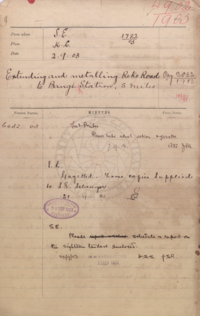
1903-06-17: Jalan Pedati Sepang-Stesen Bangi
Perancangan pembinaan jalan pedati yang bakal menghubungkan di antara Sepang dengan Stesen keretapi Bangi.
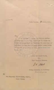
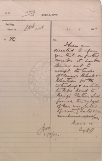
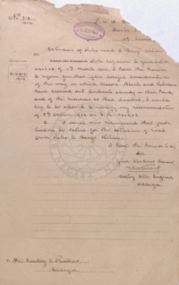
1903-09-02: Jalan Pedati ke Stesen Bangi
Pekan Bangi, serta stesen keretapinya, baru sahaja dibuka. Jalan Reko perlu disambung ke stesen tersebut. Pada mulanya tender bakal dianugerahkan kepada Messrs Black and Robertson, tetapi dibatalkan pada Mac 1904 setelah didapati syarikat tersebut sedang mengambil bahagian dalam projek-projek lain lagi, lalu dijalani proses tender semula. (PEJABAT SETIAUSAHA KERAJAAN NEGERI SELANGOR, 02/09/1903: |"EXTENDING AND METALLING REKO ROAD TO BANGI STATION, 5 MILES").
Maklumat lanjut:-
- PEJABAT SETIAUSAHA KERAJAAN NEGERI SELANGOR, 19/11/1903: |"PROVISION FOR THE REKO ROAD TO BANGI STATION".
- HIGH COMMISSIONER OFFICE, MALAYA, 08/12/1903: "EXTENSION OF REKO ROAD TO BANGI STATION, SELANGOR. REPORTS REMISSION OF ORIGINAL ESTIMATE:-".
- PEJABAT SETIAUSAHA KERAJAAN NEGERI SELANGOR, 31/03/1904: |"EXTENSION OF REKO ROAD TO BANGI STATION - NOTICE INVITING TENDERS FOR GAZETTE".
- PEJABAT SETIAUSAHA KERAJAAN NEGERI SELANGOR, 28/04/1904: |"EXTENSION OF REKO ROAD TO BANGI STATION - PROPOSES TO REDUCE THE TENDER FOR, IF METAL FOUND NEAR THE ROAD TRACE".
1904-08-18: Kuari Jalan Rekoh-Bangi
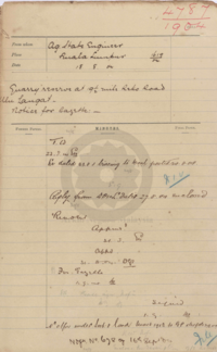
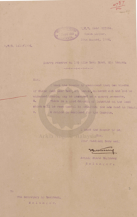
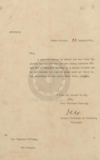
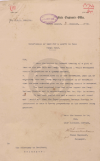
Pewartaan tanah rizab kuari di tepi Jalan Reko Batu 9 1/2 (2 batu selepas Stesen Keretapi Bangi). Kemungkinan lokasi kuari ini, berdasarkan lakaran dan spesifikasi di dalam dokumen, adalah seperti di dalam lakaran di bawah, namun belum dapat dipastikan.
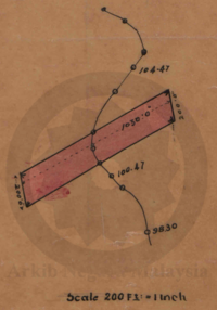
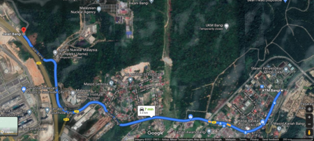
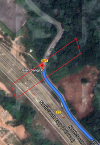
Kiri: Lakaran tapak rizab kuari di Jalan Reko, Batu 9 1/2 (2 batu selepas Stesen Keretapi Bangi), 1905.
Tengah/Kanan: Kemungkinan lokasi tapak kuari kini, 3.3km (2 batu) dari Stesen Keretapi Bangi.
(Sumber: PEJABAT SETIAUSAHA KERAJAAN NEGERI SELANGOR, 18/08/1904: |"QUARRY RESERVEAT 9 1/2 MILE REKO ROAD, ULU LANGAT - NOTICE FOR GAZETTE :-"; 03/10/1905: |"TEMPAHAN TANAH DI DAERAH-DAERAH SELANGOR UNTUK TUJUAN-TUJUAN UMUM").
1904-09-26: Kuari Batu 18 1/2
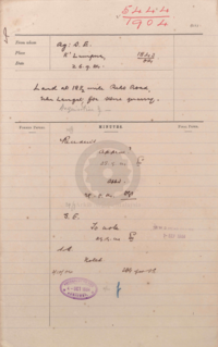
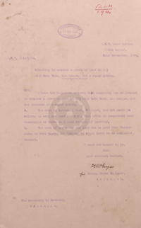
Tanah rizab kuari di batu 18 1/2 Jalan Reko. Lokasinya tidak dapat dipastikan. (PEJABAT SETIAUSAHA KERAJAAN NEGERI SELANGOR, 26/09/1904: |"LAND AT 18 ? MILE REKO ROAD, ULU LANGAT FOR STORE QUARRY - ACQUISITION OF").
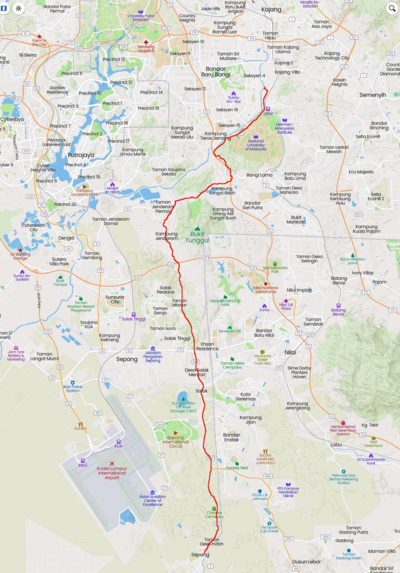
Peta Jalan Reko-Sepang (1904)
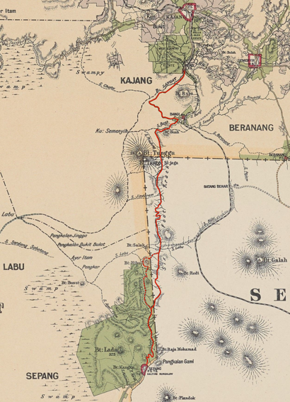
Kiri: Keadaan Jalan Reko-Sepang (ditanda merah), sekitar tahun 1904. Pekan Bangi telah pun dibuka dan kini ditandakan di dalam peta. Bahagian jalan dari kawasan Sungai Buah hingga ke Sepang ditanda sebagai “Six Foot Track”, iaitu masih jalan kuda selebar 6 kaki sahaja (pembinaan jalan belum bermula). Ketika itu jalan ini melewati bahagian timur Bukit Tunggul, menelusuri Negeri Sembilan hingga ke Sepang (Edinburgh Geographical Institute, 1904 @ Yale University Library - Digital Collections: |"Selangor, Federated Malay States, 1904 / John Bartholomew & Co ; W.T. Wood, chief draftman").
Kanan: Jalan Reko-Sepang secara kasar (ditanda merah), kini. Ia melewati bahagian barat Bukit Tunggul, menelusuri sebelah negeri Selangor, melalui Jenderam dan Salak (Mapcarta).
1904: Ancaman Gajah dan Buaya
“16. Complaints have also been made of the ravages of elephants along the Sungei Chuau road. A resident of Kajang was recently charged by a bull elephant within half a mile of the town. He succeeded in wounding the animal, and the herd has since moved off to the neighbourhood of the New Reko-Bangi road. 17. I walked over this road recently, and found that the contractor has made a good progress with the earth-work. Metalling has not yet commenced. 18. A Chinese cooly employed on this road was recently attacked and injured by a crocodile whilst bathing in the river. Crocodiles are not numerous so far up river, but it is unsafe to bathe any where below Cheras. … - O.F.Stonor. District Officer, Ulu Langat.” (Arkib Negara 1957/0119358W, 14/11/1904: |"MONTHLY REPORT FOR OCTOBER, 1904").
1905-01-10: Perolehan Tanah Jalan Pedati Bangi-Sepang
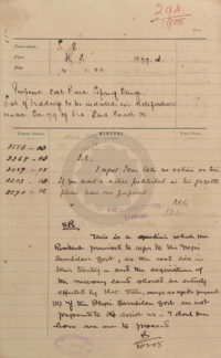
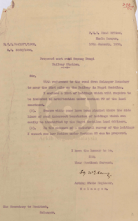
Cadangan perolehan beberapa bidang tanah (45 penamanya) di sepanjang pembinaan jalan pedati Bangi-Sepang, khususnya dari sempadan Selangor-Negeri Sembilan (sebelah timur Bukit Tunggul) hingga ke suatu kawasan berhampiran landasan keretapi (di sekitar Sungai Labu): “With reference to the road from Selangor Boundary to near the 33rd mile on the Railway in Negri Sembilan.” (PEJABAT SETIAUSAHA KERAJAAN NEGERI SELANGOR, 10/01/1905: |"PROPOSED CART ROAD SEPANG - BANGI. LIST OF HOLDING TO BE INCLUDED IN NOTIFICATION UNDER SECTION 79 OF THE LAND ENACTMENT.").
1906-01-27: Jambatan di Batu 20 1/2
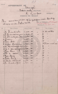
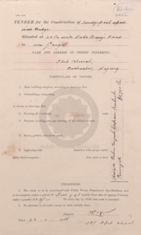
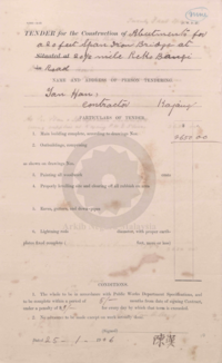
Tender pembinaan sebuah jambatan di Batu 20 1/2 Jalan Reko, di antara Rekoh dan Bangi. Lokasinya belum dapat dikenalpasti (PEJABAT SETIAUSAHA KERAJAAN NEGERI SELANGOR, 27/01/1906: |"REKO - BANGI ROAD BRIDGE -").
1907-02-22: Jalan Bangi-Salak
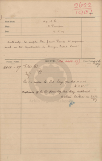
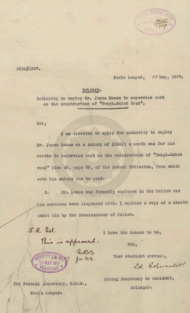
Mr. James Lomas, seorang bekas pegawai polis, dilantik sebagai penyelia projek pembinaan jalan yang menghubungkan Bangi dengan Salak.
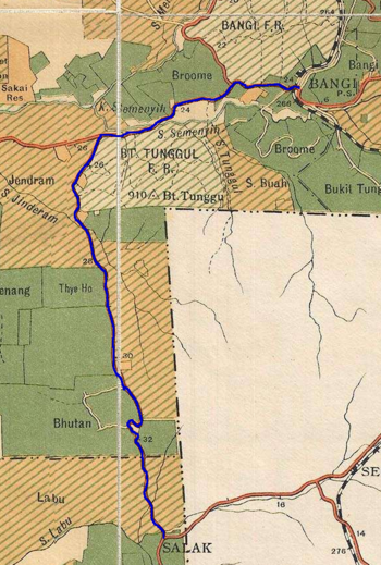
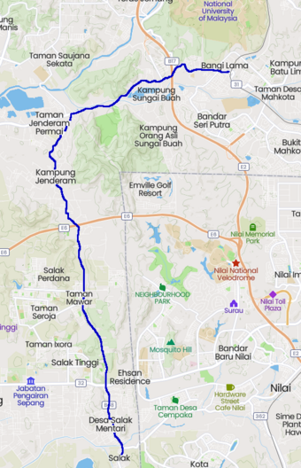
Kiri: Jalan Bangi-Salak setelah lebih sedasawarsa beroperasi, 1929 (Edward Stanford @ F.M.S. Survey Department, 1929: |
"1929 F.M.S. Wall Map of Selangor (Kuala Lumpur)").
Kanan: Jalan Bangi-Salak, kini (Mapcarta).
CATATAN: Sedikit perihal Mr. James Lomas:-
- Antara 1899-1902: Pernah terlibat dalam Perang Boer (mungkin yang kedua: 11 October 1899 – 31 May 1902), sebelum dipindahkan ke Ipoh, Perak, F.M.S.
- 1904-04-27: Sedang bertugas sebagai inspektor polis F.M.S. di Ipoh, Perak.
- 1905-03-01: Digugurkan dari pasukan polis F.M.S., kemudiannya berpindah ke Singapura. Di sana beliau menjadi pegawai polis, dan pegawai penjara (warder).
- 1906-09-08: Memohon jawatan di Straits Trading Company, sebagai polis dok (dock police) di Tanjong Pagar, Singapura.
(Sumber: HIGH COMMISSIONER OFFICE, MALAYA, 07/09/1906: |"LETTER FROM MR. W.H. RAINSFORD ENQUIRING THE WHEREABOUTS OF MR. JAMES LOMAS. FORWARDS:-").
1908-03-10: Kelewatan Pembinaan Jalan Reko-Bangi
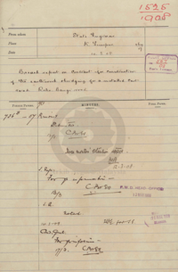
Kelewatan dilaporkan pada projek pembinaan jalan pedati yang menghubungkan di antara Reko dengan Bangi, khususnya di peringkat kerja tanah dan pembinaan jambatan (PEJABAT SETIAUSAHA KERAJAAN NEGERI SELANGOR, 10/03/1908:
|"BREACH REPORT ON CONTRACT FOR CONSTRUCTION OF THE EARTHWORK AND BRIDGING FOR A METALLED CART ROAD REKO-BANGI ROAD").
1910-07-01: Pembukaan Jalan Bangi-Salak-Seremban
Pembukaan jalan pedati Bangi-Salak, sebagai laluan alternatif menghubungkan Kuala Lumpur dengan Seremban: “The new road from Kuala Lumpur to Seremban via Kajang Bangi and Salak will be opened for traffic, other than timber or firewood carts, on July 1. The route from Kajang is past the railway station to Reko. At the 23 1/2 mile near Bangi the right hand turning should be taken, at the 34 3/4 mile junction with Sepang Road turn to the left, the right hand turning leading to Sepang only. The route is marked by sign posts at each junction, the total mileage from Kuala Lumpur to Seremban being 58 miles. No gradients on this road between Kajang and Seremban exceed 1 in 40.” (The Straits Times, 23 June 1910, Page 8: |"New Road to Seremban").
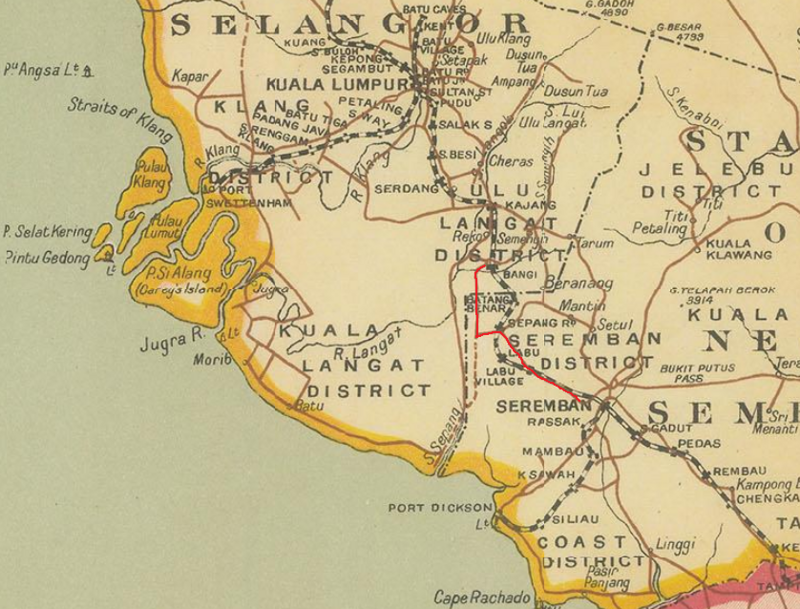
Peta jalan dan landasan, 1911. Jalan yang dimaksudkan (Bangi - Salak - Labu - Seremban) ditandakan dengan garisan merah: “Detailed map of the Federated Malay States base on a survey by C. W. Harrison of the Malay Civil Service. Harrison was the Commissioner of Lands and author of a number of guides to the Malay Peninsula and various rural improvements.Printed colour. SL [SEAS4810]” (C. W. Harrison @ Federated Malay States, 1911: |"A Map of the British Territories and British Protectorates in the Malay Peninsula").
1914-04-07: Peluasan Jalan
Peluasan Jalan Reko, di antara Batu 19 dan 23 (PEJABAT SETIAUSAHA KERAJAAN NEGERI SELANGOR, 07/04/1914: |"WIDENING REKO ROAD, 19 TO 23? MILE").
1916-03-13: Rumah Kongsi Jalan Bangi-Salak
Pembinaan rumah kongsi sementara bagi penyelenggaraan Jalan Bangi-Salak (PEJABAT SETIAUSAHA KERAJAAN NEGERI SELANGOR, 13/03/1916: |"(1) ERECTION OF (A) TEMPORARY COOLY LINES, KAJANG. (B) TEMPORARY COOLY LINES, BANGI SALAK ROAD - (2) REMOVING COOLY LINES FROM 9TH MILE, ULU LANGAT ROAD TO 12TH MILE CHERAS ROAD, - (3) SPECIAL REPAIRS AND PAINTING STATION BARRACK AND KITCHEN SEMENYIH. TENDERS FOR :-").
1917-06-08: Kerosakan Pembetungan
Sumber: PEJABAT SETIAUSAHA KERAJAAN NEGERI SELANGOR, 08/06/1917: |"REPLACING A CULVERT WASHED OUT AT BANGI SALAK ROAD. LIABILITY OF BROOME ESTATE TO PAY PART COST OF:-".
1919-04-09: Banjir di Jalan Bangi-Salak
| Tarikh | Butiran Keratan | |
|---|---|---|
| | 1919.04.09 | "THE FLOODS IN MALAYA". The Straits Times, 9 April 1919, Page 9 |
| | 1919.04.10 | "Untitled". The Straits Times, 10 April 1919, Page 6 |
| | 1919.04.10 | "K. L. Floods". Malaya Tribune., 10 April 1919, Page 6 |
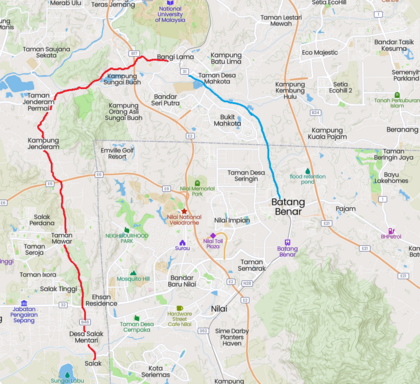
Banjir di Selangor. Antara lain, landasan keretapi di antara Batang Benar dan Bangi, serta jalan Bangi-Salak telah ditenggelami air.
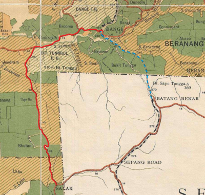
Kiri: Landasan Bangi-Batang Benar (biru), dan jalan Bangi-Salak (merah), berdasarkan peta 1929 (Edward Stanford @ F.M.S. Survey Department, 1929: |"1929 F.M.S. Wall Map of Selangor (Kuala Lumpur)").
Kanan: Landasan Bangi-Batang Benar (biru), dan jalan Bangi-Salak (merah), kini (Mapcarta).
CATATAN: Landasan Bangi-Batang Benar ditenggelami air sekali lagi pada 2 Disember 1925.
Peta Jalan Reko-Sepang 1929
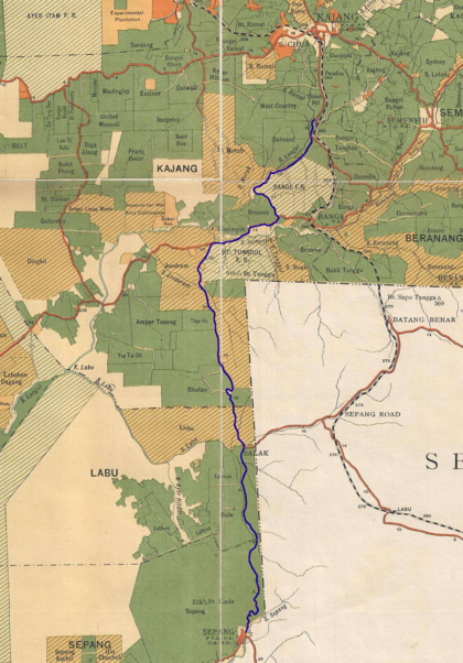
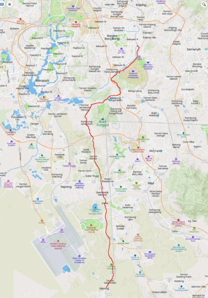
Kiri: Jalan Reko-Sepang, 1929 (Edward Stanford @ F.M.S. Survey Department, 1929: |"1929 F.M.S. Wall Map of Selangor (Kuala Lumpur)").
Kanan: Jalan Reko-Sepang, kini (Mapcarta).
Peta Jalan Selangor 1929
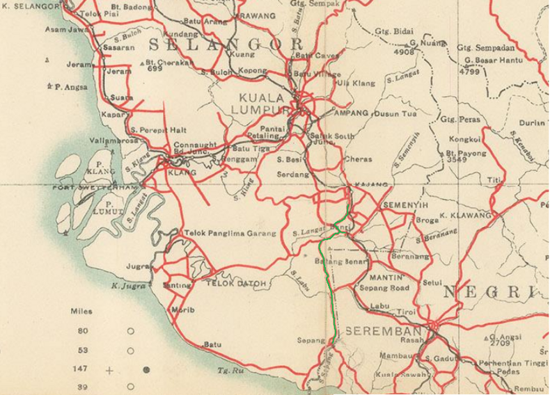
Peta jalan di Selangor, 1929. Jalan Reko-Sepang ditandakan hijau. Ketika ini, nama “Rekoh” tidak lagi ditandakan di dalam peta: “Folding map of the Malay Peninsula concentrating on the early road network as highlighted by red. Designed for the a traveller, the map also marks early hotels, rest houses and golf courses. Printed colour. Folded. [SEAS4794]” (Federal Malay States, 1929: |"Malaya").
1948-1950: Koleksi Gambar Arkib UK
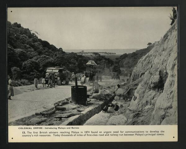
Gambar hiasan: Pembinaan jalan di Malaya, 1948-1950 (His Majesty's Stationery Office @ National Archives UK, 1948-1950: |"Introducing Malaya and Borneo (1948-1950)").
Pengakuan penting: Kami bukan ahli sejarah! Sila klik di sini untuk penjelasan lanjut.


